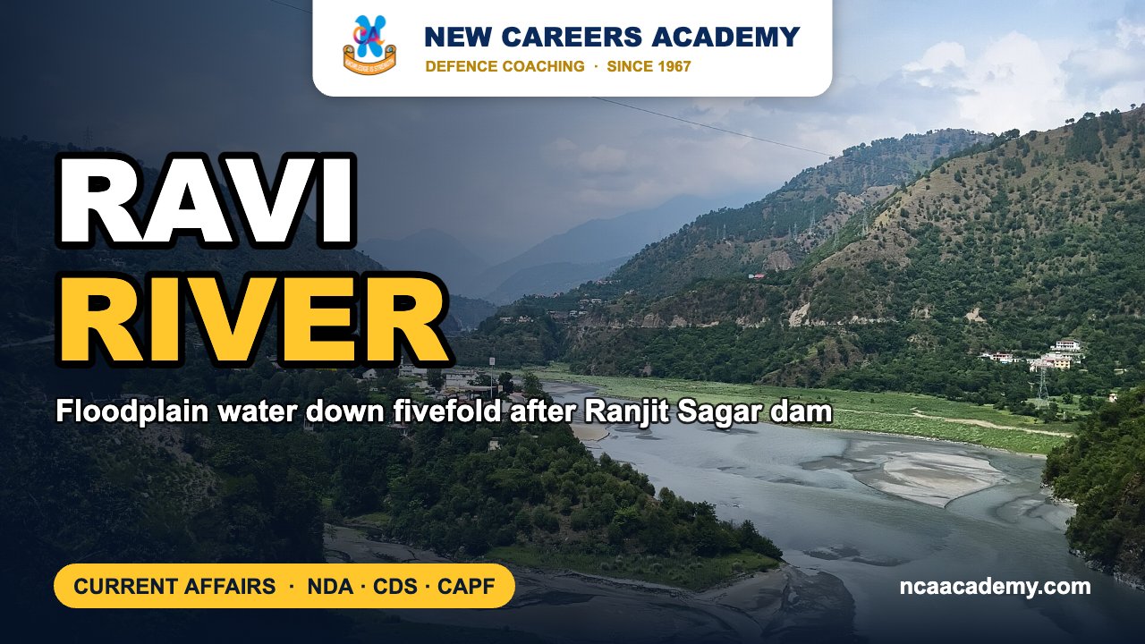
Quick answer: The Ravi is one of the five rivers of the Punjab, and the 1960 Indus Waters Treaty allots it to India as an eastern river. It is in the news because an IIT Gandhinagar study, publicised on 30 October 2026, found that the surface water across its floodplain below the Ranjit Sagar dam has shrunk about five times since the reservoir started working in 2001.
Why the Ravi River is in the news
Scientists at the Indian Institute of Technology Gandhinagar (IITGN), with a co-author from the Central University of Jharkhand, studied the Ravi downstream of the Ranjit Sagar (Thein) reservoir. They combined daily discharge records from 1980 to 2019 with satellite images of the floodplain. The paper, “Unraveling the impacts of reservoir regulation and sand mining on the Ravi River, India”, appeared in the journal Next Sustainability on 28 August 2026. IITGN put out a press release on 30 October 2026.
To keep reservoir releases from skewing the results, the team only used data from the pre-monsoon months of April and May. Here is what they found:
- Median discharge fell from 296 to 221 cubic metres per second, comparing 1980–2000 with 2001–2019.
- Mean surface-water area on the floodplain dropped from 17.35 sq km to 3.46 sq km, a fall of about five times.
- Images from 1992 and 1998 show a clear network of water channels. Images from 2003, 2009 and 2019 show far fewer.
- Vegetation has spread onto floodplain land that used to be under water. That land is now more stable but less connected to the main channel.
- High-resolution imagery shows sand-mining pits and changes in the river’s path, so human activity is a second pressure on the river.
Key facts about the Ravi River
- Source: It rises in the Himalayas in Himachal Pradesh and flows west-northwest past Chamba.
- Course: It bends southwest at the Jammu and Kashmir boundary and then runs along the India–Pakistan border for more than 80 km before entering Pakistan’s Punjab.
- Mouth: It flows past Lahore and joins the Chenab south of Ahmadpur Sial.
- Length: About 725 km, according to Encyclopaedia Britannica.
- Irrigation: The Upper Bari Doab Canal has its headworks at Madhopur in Punjab and was completed in 1878–79.
Dams and projects on the Ravi
| Project | Location | Key point |
|---|---|---|
| Ranjit Sagar (Thein) Dam | Near Thein, on the J&K–Punjab border, 24 km upstream of Madhopur headworks | 160 m high earth-core-cum-gravel-shell dam with 600 MW installed capacity. Run by Punjab’s Water Resources Department and completed around 2001. |
| Chamera stages I–III | Chamba district, Himachal Pradesh | NHPC hydropower projects. Chamera-I (540 MW) was commissioned in 1994. |
| Shahpurkandi Dam | Downstream of Ranjit Sagar, Pathankot area | Built to use Ravi water that used to flow to Pakistan. The main dam was completed in 2024. |
Indus system: the five rivers of Punjab
| River | Rigvedic name | Origin | IWT group | Notable dam / feature |
|---|---|---|---|---|
| Jhelum | Vitasta | Verinag spring, Kashmir | Western | Flows through Wular Lake |
| Chenab | Asikni | Meeting of the Chandra and Bhaga, Lahaul (HP) | Western | Salal, Baglihar |
| Ravi | Parushni (later Iravati) | Himalayas near Rohtang, HP | Eastern | Ranjit Sagar, Chamera |
| Beas | Vipas / Vipasha | Beas Kund near Rohtang Pass, HP | Eastern | Pong Dam (Maharana Pratap Sagar) |
| Sutlej | Shutudri | Rakas Tal, Tibet | Eastern | Bhakra Dam, Nathpa Jhakri |
Indus Waters Treaty 1960: the basics
- Signed in Karachi on 19 September 1960 by Jawaharlal Nehru and Ayub Khan, with the World Bank as mediator.
- Eastern rivers (Ravi, Beas, Sutlej) are for India’s unrestricted use.
- Western rivers (Indus, Jhelum, Chenab) go mainly to Pakistan. India may build run-of-the-river projects on them with limited storage.
- On 23 April 2025, after the Pahalgam terror attack, India’s Cabinet Committee on Security put the treaty “in abeyance” until Pakistan credibly and irrevocably gives up support for cross-border terrorism.
Exam angle: how NDA, CDS and CAPF can ask this
- Matching rivers to their Rigvedic names (Parushni–Ravi, Asikni–Chenab, Vitasta–Jhelum) is a standard static-GK question.
- The eastern and western river split under the Indus Waters Treaty is basic knowledge for defence geography and for India–Pakistan relations.
- Matching dams to rivers (Ranjit Sagar–Ravi, Pong–Beas, Bhakra–Sutlej, Salal–Chenab) is a common format.
Practice MCQs
Q1. Under the Indus Waters Treaty, which group of rivers was allocated to India?
(a) Indus, Jhelum, Chenab (b) Ravi, Beas, Sutlej (c) Jhelum, Ravi, Beas (d) Chenab, Sutlej, Indus
Answer: (b) — Ravi, Beas and Sutlej are the eastern rivers.
Q2. The Rigvedic name “Parushni” refers to which present-day river?
(a) Beas (b) Jhelum (c) Ravi (d) Chenab
Answer: (c) — Parushni, later called Iravati, is the Ravi.
Q3. The Ranjit Sagar (Thein) Dam is built on which river?
(a) Beas (b) Ravi (c) Sutlej (d) Chenab
Answer: (b) — it stands on the Ravi at the J&K–Punjab border.
Q4. The Ravi finally drains into which river?
(a) Sutlej (b) Jhelum (c) Chenab (d) Indus directly
Answer: (c) — it joins the Chenab in Pakistan’s Punjab.
Frequently asked questions
What did the IIT Gandhinagar study find about the Ravi?
Pre-monsoon median discharge below the Ranjit Sagar reservoir fell from 296 to 221 cubic metres per second after 2001. The surface-water area on the floodplain fell from 17.35 sq km to 3.46 sq km, about five times less.
Where does the Ravi River rise?
It rises in the Himalayas in Himachal Pradesh, flows past Chamba, and then turns southwest towards Punjab and Pakistan.
Is the Ravi an eastern or a western river under the Indus Waters Treaty?
It is an eastern river. Along with the Beas and the Sutlej, its waters were given to India for unrestricted use.
Which city in Pakistan stands on the Ravi?
Lahore. After Lahore, the Ravi turns west and joins the Chenab.
Also read on NCA: Sankosh River | Monthly defence current affairs PDFs | NDA coaching in Chandigarh
Sources: IIT Gandhinagar via EurekAlert, Encyclopaedia Britannica, Punjab Water Resources Department, NHPC, Indus Waters Treaty overview. Facts as reported up to 1 November 2026.
Featured image background: Nicobellic183 / Wikimedia Commons, CC BY-SA 4.0.