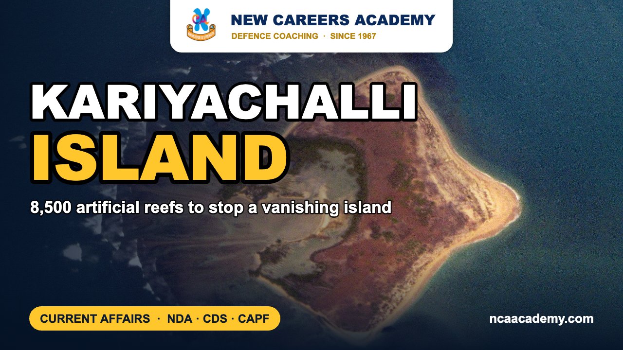
Quick answer: Kariyachalli is a small uninhabited coral island off Thoothukudi in Tamil Nadu. It is one of the 21 islands of the Gulf of Mannar Marine National Park. It is in the news in late October 2026 because erosion has taken about 85% of its land since 1969, and Tamil Nadu is placing around 8,500 artificial reef modules, designed by IIT Madras and SDMRI under the World Bank-supported TN SHORE project, to save it.
Why Kariyachalli Island is in the news
Government figures show the island was 20.85 hectares in 1969. In 2025 it was just 3.14 hectares at high tide, which is a loss of roughly 85%. An IIT Madras Ocean Engineering report from January 2025 warned that the island could go under water by 2036 if erosion continues at this rate.
The restoration project is worth about ₹50 crore and runs under the Tamil Nadu Sustainably Harnessing Ocean Resources and Blue Economy (TN SHORE) project, which the World Bank funds. AFP reported in September 2026 that the reef modules were being lowered into place and that deployment would finish by the end of that month. The site will then be monitored for at least four years.
Key facts about Kariyachalli and the reef project
- Location: It is in the Tuticorin (Thoothukudi) group of the Gulf of Mannar islands, along with Vilanguchalli, Kasuwar and Van (Vaan).
- Reef modules: There are about 8,500 trapezoidal units made of ferrocement and steel. Each has perforations to let nutrients flow, stands 2–3 m tall and weighs 1.8–3 tonnes.
- Designers: IIT Madras and the Suganthi Devadason Marine Research Institute (SDMRI), Thoothukudi. They placed the units using data on currents, waves and the seabed.
- Purpose: The modules break incoming wave energy, trap sediment and give corals a surface to grow on.
- Other work: Workers are transplanting corals and replanting seagrass. Seagrass meadows hold sediment in place and are food for the dugong.
- Reef loss: Reef cover around the island fell from about 500 hectares in 2005 to 197 hectares in 2021.
- Precedent: On nearby Vaan Island, about 10,000 artificial reef modules helped win back part of the lost land.
- Islands already lost: Two of the 21 islands, Vilanguchalli and Poovarasanpatti, have already gone under the sea.
Gulf of Mannar: national park and biosphere reserve
| Feature | Gulf of Mannar Marine National Park | Gulf of Mannar Biosphere Reserve |
|---|---|---|
| Declared | 10 September 1986 (Tamil Nadu G.O.) | 1989 (Government of India, MoEF) |
| Area | About 560 sq km (21 islands and shallow waters) | About 10,500 sq km |
| Extent | Rameswaram to Thoothukudi | Rameswaram to Kanyakumari; the national park is its core |
| Notable | India’s first marine biosphere reserve. It has about 117 coral species and 14 seagrass species, and is home to the dugong. | |
India’s four major coral reef areas
| Reef area | Sea | Main reef type (MoEF/SAC data) | Note |
|---|---|---|---|
| Gulf of Kachchh (Gujarat) | Arabian Sea | Fringing and patchy reefs on sandstone platforms | Reefs around 34 islands. High salinity and sediment. |
| Lakshadweep | Arabian Sea | Atolls | 12 atolls on the Laccadive–Chagos ridge. Some reefs are near pristine. |
| Gulf of Mannar (Tamil Nadu) | Bay of Bengal side | Fringing and atoll-type reefs | Reefs around 21 islands. A ribbon reef at Adam’s Bridge. |
| Andaman and Nicobar Islands | Bay of Bengal | Mainly fringing, with some barrier reefs | Largest reef extent of the four. |
Blue carbon in brief
“Blue carbon” is the carbon that vegetated coastal ecosystems capture and store. The main ones are mangroves, seagrass meadows and tidal salt marshes. They bury carbon in their soils and sediments much faster than most land forests do. When these habitats are damaged, the stored carbon can be released. The seagrass work at Kariyachalli therefore does two jobs: it protects the island and it adds to carbon storage.
Exam angle: how NDA, CDS and CAPF can ask this
- Common question formats are listing India’s four major coral reef areas and matching them to reef types (Lakshadweep is atolls).
- Gulf of Mannar facts (first marine biosphere reserve, 21 islands, dugong habitat) come up often in environment sections.
- Kariyachalli is an example of a nature-based solution to coastal erosion, which links to disaster-management topics such as tsunamis and cyclones.
Practice MCQs
Q1. Kariyachalli Island belongs to which island group of the Gulf of Mannar?
(a) Mandapam (b) Keelakarai (c) Vembar (d) Tuticorin
Answer: (d) — it is one of four islands in the Tuticorin group.
Q2. Which Indian coral reef area is made up mainly of atolls?
(a) Gulf of Kachchh (b) Lakshadweep (c) Gulf of Mannar (d) Andaman Islands
Answer: (b) — Lakshadweep is an archipelago of 12 atolls.
Q3. Which of these is NOT usually counted as a blue carbon ecosystem?
(a) Mangroves (b) Seagrass meadows (c) Tidal salt marshes (d) Desert scrubland
Answer: (d) — blue carbon refers to vegetated coastal ecosystems.
Q4. The Gulf of Mannar Marine National Park was declared in
(a) 1972 (b) 1986 (c) 1989 (d) 2001
Answer: (b) — on 10 September 1986. The biosphere reserve followed in 1989.
Frequently asked questions
How much land has Kariyachalli Island lost?
It was 20.85 hectares in 1969 and about 3.14 hectares at high tide in 2025, a loss of roughly 85%.
Who designed the artificial reef modules?
IIT Madras and the Suganthi Devadason Marine Research Institute, Thoothukudi. They used data on waves, currents and the seabed.
Under which project is the restoration being done?
The World Bank-funded Tamil Nadu SHORE (Sustainably Harnessing Ocean Resources and Blue Economy) project, with an outlay of about ₹50 crore for this work.
What is blue carbon?
It is carbon captured and stored by coastal ecosystems such as mangroves, seagrass meadows and salt marshes, mostly in their sediments.
Also read on NCA: Operation Sagar Bandhu and cyclone relief | Monthly defence current affairs PDFs | CDS coaching in Chandigarh
Sources: Down To Earth, AFP via Malay Mail, SDMRI, Ramanathapuram district (TN Forest Dept), MoEFCC / IUCN coral reefs report. Facts as reported up to 1 November 2026.
Featured image background: Rehman Abubakr / Wikimedia Commons, CC BY-SA 4.0.